GeoServer 2.3
打開和共享您的空間數據
GeoServer 可讓您向世界顯示空間信息。實施網絡地圖服務(WMS)標準,GeoServer 可以創建各種輸出格式的地圖。 OpenLayers,一個免費的地圖庫,被集成到 GeoServer,使地圖生成快速和容易。 GeoServer 是建立在 Geotools 上的一個開源的 Java GIS 工具包.
使用免費和開源軟件
GeoServer 是免費軟件。與傳統 GIS 產品相比,這顯著降低了進入的財務壁壘。另外,它不僅免費提供,而且也是開源的。與傳統軟件解決方案相比,開源軟件中的錯誤修復和功能改進顯著加速。在您的組織中利用 GeoServer 還可以防止軟件鎖定,從而節省昂貴的支持合同.
集成現有的映射 APIs
GeoServer 可以顯示任何常用的地圖應用程序(如 Google 地圖,Google 地球,Yahoo 地圖和 Microsoft Virtual Earth 。另外,GeoServer 可以連接到傳統的 GIS 體系結構,如 ESRI ArcGIS.
注意:需要 Java Runtime Environment.
也可以:下載 GeoServer 為 Mac
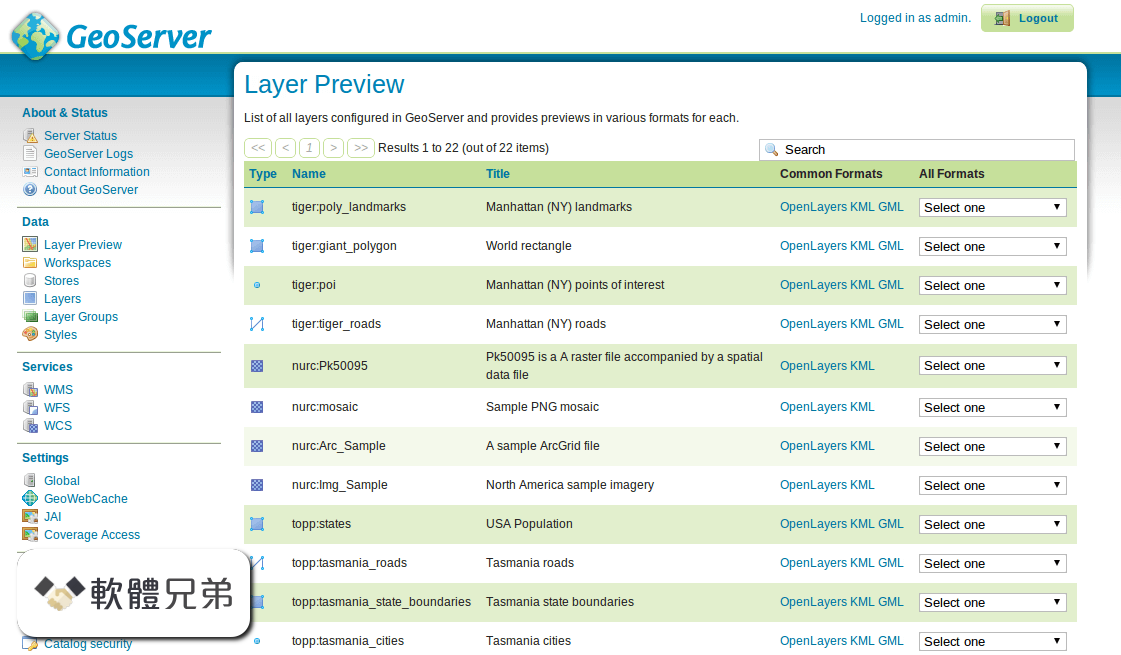
ScreenShot
| 軟體資訊 | |
|---|---|
| 檔案版本 | GeoServer 2.3 |
| 檔案名稱 | geoserver-2.3.exe |
| 檔案大小 | 56.27 MB |
| 系統 | Windows XP / Vista / Windows 7 / Windows 8 / Windows 10 |
| 軟體類型 | 開源軟體 |
| 作者 | Open Source Geospatial Foundation |
| 官網 | http://geoserver.org/ |
| 更新日期 | 2013-03-19 |
| 更新日誌 | |
|
What's new in this version: - A pluggable configuration subsystem (for the catalog and service configuration) GeoServer 2.3 相關參考資料
Browse GeoServer2.3.0 at SourceForge.net
GeoServer is an open source software server written in Java that allows users to share and edit geospatial data. Designed for interoperability, it… https://sourceforge.net Browse GeoServer2.3.2 at SourceForge.net
GeoServer is an open source software server written in Java that allows users to share and edit geospatial data. Designed for interoperability, it… https://sourceforge.net cpe:2.3:a:geoserver:geoserver:2.10.4 - NVD - Detail
CPE Names · Version 2.3: cpe:2.3:a:geoserver:geoserver:2.10.4:*:*:*:*:*:*:* · Version 2.2: cpe:/a:geoserver:geoserver:2.10.4 · CPE Name Components Select a ... https://nvd.nist.gov GeoServer 2.3.0 released, first official OSGeo release!
2013年3月18日 — This release contains six months worth of improvements and fixes to the GeoServer code base. Including several important new features and ... https://geoserver.org GeoServer 2.3.1 released
2013年4月23日 — This is the first bug-fix release of the 2.3.x stable series, and packs 34 changes between bug fixes and improvements in different departments. https://geoserver.org GeoServer 2.3.2 released
2013年5月20日 — GeoServer 2.3.2 released. May 20, 2013 • geoserver. The GeoServer team is pleased to announce the release of GeoServer 2.3.2 for download. https://geoserver.org GeoServer 2.3.3 Released
2013年6月23日 — GeoServer 2.3.3 Released · Scale hints now exposed in WMS GetCapabilities document · Fixed Symbology Encoding 1.1 encoding of relative external ... https://geoserver.org GeoServer 2.3.5 Released
2013年8月18日 — GeoServer 2.3.5 Released · A couple new authentication options for LDAP, thanks to Mauro Bartolomeoli for this work. · The file browser used ... https://geoserver.org Invalid column name problem with GeoServer 2.3 and SQL ...
Invalid column name problem with GeoServer 2.3 and SQL Server views. I have been getting this error with a WMS layer based on a SQL Server 2008 view, when using ... https://www.esdm.co.uk Java Considerations — GeoServer 2.23-SNAPSHOT User ...
Java 6 - GeoServer 2.3.x to GeoServer 2.5.x (Oracle JRE tested). Java 5 - GeoServer 2.2.x and earlier (Sun JRE tested). As of GeoServer 2.0, a Java Runtime ... https://docs.geoserver.org |
|